


MISSOULA – Researchers at the University of Montana have created a new free product that displays the height and structure of individual trees and shrubs across the entire contiguous United States in fine detail.
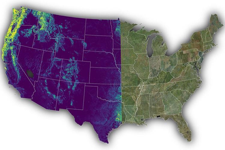
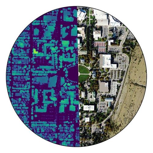
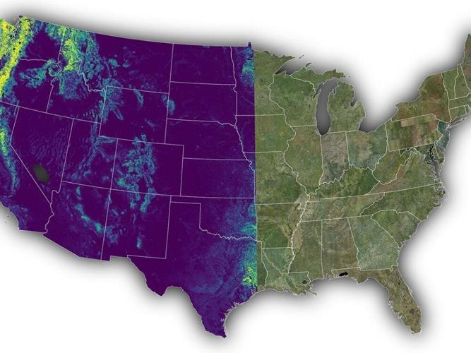
Dubbed the National Agriculture Imagery Program-Canopy Height Model, the data is available for download from UM servers. A continent-spanning example of NAIP-CHM is available online, as well as a zoomed-in view of the UM campus in Missoula. (Be sure to try the slider in the middle of the images.)
“Producing this information used to require expensive laser surveys flown by plane – plus a specialist to process the data,” said Scott Morford, a UM research scientist and the project lead. “That kept it out of reach for many land managers and scientists. Now we have a national dataset that’s free and easy to use, which opens up a lot of opportunity.”
People are also reading…
The UM researchers announced the new product in Scientific Data, a peer-reviewed journal. Morford said NAIP-CHM has immediate, practical applications for land managers and researchers dealing with mapping, wildfire fuels, drought assessment, wildlife habitat, water modeling and more.
He said NAIP-CHM offers the first nationwide dataset to provide vegetation structure at a detailed sub-meter (0.6 meter) resolution, enabling individual tree and shrub detection. The model was built using National Agriculture Imagery Program photos from 2022-23.
“This offers information that is critical for land managers and ecological research,” Morford said. “In rangelands, where encroaching trees are a major driver of sagebrush and grassland loss, vegetation height helps managers prioritize treatment, estimate costs and anticipate outcomes.”
He said vegetation structure offers clues to how wildfires might spread across the landscape, and density and spacing of trees drive how susceptible they are to drought stress and dieback.
“Until now, the kind of detail we are offering only existed in scattered places,” Morford said. “By mapping it wall to wall across the whole country, we’re giving managers and scientists what they need to put their efforts where they’ll do the most good.”
He said the new product and model complement the Rangeland Analysis Platform by adding vegetation height to the cover and production maps already used by land managers across the West.
Based at UM, Morford is part of Working Lands for Wildlife, a nationwide group striving to address conservation challenges in concert with the U.S. Department of Agriculture. His team also is embedded with the Numerical Terradynamic Simulation Group, a UM research center that specializes in remote sensing research, which has designed software and data products for NASA environmental satellites.
“NAIP-CHM is more than a new map – it’s the foundation for the next generation of rangeland, woodland and forest monitoring tools,” Morford said. “Working Lands for Wildlife scientists are developing applications that translate vegetation structure into on-the-ground decisions, helping target conservation and restoration investments to the places and treatments most likely to pay off.”


